Above-average Atlantic Ocean temperatures set the stage; 13-19 storms expected
Forecasters within NOAA’s National Weather Service predict above-normal hurricane activity in the Atlantic basin this year, with an expected 13-19 tropical storms of which 6-10 will become hurricanes.
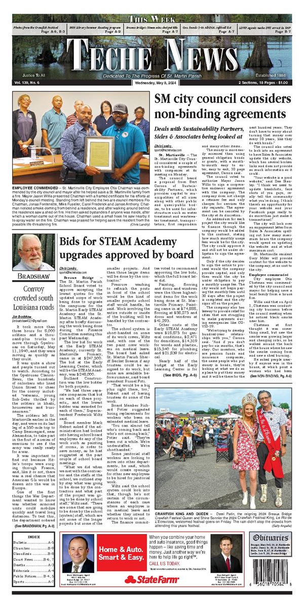
NOAA officials speak ing from the Jefferson Parish Emergency Operations Center in Gretna announced on May 22 that this year’s Atlantic hurricane season is likely to be above average.
NOAA’s outlook for the 2025 Atlantic hurricane season, which goes from June 1 to Nov. 30, predicts a 30 percent chance of a near-normal season, a 60 percent chance of an above-normal season, and a 10 percent chance of a below-normal season.
The agency is forecasting a range of 13 to 19 total named storms (winds of 39 mph or higher). Of those, 6-10 are forecast to become hurricanes (winds of 74 mph or higher), including 3-5 major hurricanes (category 3, 4 or 5; with winds of 111 mph or higher). NOAA has a 70 percent confi dence in these ranges.
A typical year averages about 14 tropical storms, seven of which spin into hurricanes, based on weather records that date from 1991 to 2020.
This year marks the 20th anniversary of Hurricanes Katrina and Rita, which devastated New Orleans and Southwest Louisiana in 2006.
Hurricane Katrina made landfall in Louisiana on Aug. 29, 2005, bringing winds of 140 miles per hour and storm waters that flooded more than 80 percent of New Orleans. More than 1,800 people lost their lives and damages across the Gulf Coast topped $108 billion.
A few weeks later, Hurricane Rita battered the area on Sept. 24, extending the damage from eastern Texas to western Florida.
Hurricane
The two hurricanes littered the Gulf coast with tens of thousands of drums, storage tanks, and other containers holding oil, chemicals, and other hazardous materials.
Those storms’ winds and waters also damaged, wrecked and sank thousands of vessels along the Gulf Coast.
In 2024, forecasts called for up to 30 named storms and 18 named storms formed. Hurricanes Helene and Milton were among the storms hitting the U.S., with more than 400 resulting fatalities making 2024 the nation’s deadliest hurricane season since 2005, National Hurricane Center Director Michael Brennan said. It was also the third-costliest on record, after 2017 and 2005.
“NOAA and the National Weather Service are using the most advanced weather models and cutting-edge hurricane tracking systems to provide Americans with real-time storm forecasts and warnings,” said Commerce Secretary Howard Lutnick. “With these models and forecasting tools, we have never been more prepared for hurricane season.”
“As we witnessed last year with significant inland flooding from hurricanes Helene and Debby, the impacts of hurricanes can reach far beyond coastal communities,” Acting NOAA Administrator Laura Grimm said. “NOAA is critical for the delivery of early and accurate forecasts and warnings, and provides the scientific expertise needed to save lives and property.”
Factors influencing NOAA’s predictions The season is expected to be above normal due to a confluence of factors, including continued ENSO-neutral conditions, warmer than average ocean temperatures, forecasts for weak wind shear, and the potential for higher activity from the West African Monsoon, a primary starting point for Atlantic hurricanes.
All of these elements tend to favor tropical storm formation.
The high activity era continues in the Atlantic Basin, featuring high-heat content in the ocean and reduced trade winds. The higher-heat content provides more energy to fuel storm development, while weaker winds allow the storms to develop without disruption.
This hurricane season also features the potential for a northward shift of the West African monsoon, producing tropical waves that seed some of the strongest and most long-lived Atlantic storms.
“In my 30 years at the National Weather Service, we’ve never had more advanced models and warning systems in place to monitor the weather,” NOAA’s National Weather Service Director Ken Graham said. “This outlook is a call to action: be prepared. Take proactive steps now to make a plan and gather supplies to ensure you’re ready before a storm threatens.”
Improved hurricane analysis and forecasts in store for 2025 NOAA will improve its forecast communications, decision support, and storm recovery efforts this season. These include:
• NOAA’s model, the Hurricane Analysis and Forecast System, will undergo an upgrade that is expected to result in another 5 percent improvement of tracking and intensity forecasts that will help forecasters provide more accurate watches and warnings.
• NOAA’s National Hurricane Center (NHC) and Central Pacific Hurricane Center will be able to issue tropical cyclone advisory products up to 72 hours before the arrival of storm surge or tropical-storm-force winds on land, giving communities more time to prepare.
• NOAA’s Climate Prediction Center’s Global Tropical Hazards Outlook, which provides advance notice of potential tropical cyclone risks, has been extended from two weeks to three weeks, to provide additional time for preparation and response.